
How Does a Helicopter for Aerial Survey Improve Mapping Accuracy, Data Collection and Project Efficiency?
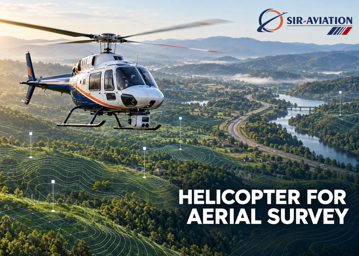
Accurate spatial information can determine whether a project moves forward confidently or faces costly revisions. A helicopter for Aerial Survey gives mapping teams a flexible airborne platform for capturing detailed information over cities, forests, mountains, coastlines and large infrastructure corridors. Its ability to fly at controlled speeds, follow irregular terrain and carry specialised sensors makes it valuable when conventional ground surveys would take too long or leave dangerous gaps. SIR Aviation supports aerial operations that help survey specialists collect reliable data while keeping safety, planning and project requirements at the centre of each mission.
Why Helicopters Remain Valuable for Aerial Surveying
Every survey platform has a suitable operating range. Satellites cover immense areas but may not provide the timing, resolution or viewing angle a project needs. Fixed-wing aircraft efficiently cover broad, open regions, yet they require more room to turn and usually operate at higher speeds. Drones work well across smaller sites, although endurance, payload, communication range and local operating restrictions can limit their usefulness.
Helicopters occupy a distinctive position between these options. They can fly slowly, hold a precise line, operate relatively close to the terrain and change direction within limited airspace. A crew can adapt the flight profile to rivers, roads, power lines, pipelines and steep slopes. The aircraft can also carry sensors, stabilised mounts, navigation systems and onboard operators without the payload constraints associated with many smaller platforms.
This flexibility does not automatically guarantee accurate results. Skilled flight planning, calibrated equipment, suitable weather and disciplined data processing remain essential. However, a well-managed helicopter mission creates favourable conditions for consistent, high-quality collection across challenging terrain.
Greater Mapping Accuracy Through Controlled Flight
Mapping accuracy starts with aircraft position, sensor orientation and image or measurement quality. A helicopter allows pilots to maintain a planned height above ground, reduce speed where extra detail is necessary and follow routes that match the shape of the survey area. These capabilities help the sensor maintain more consistent coverage.
Consistent altitude supports a stable ground sampling distance in photographic surveys. When the aircraft remains close to the intended height, each image represents the ground at a predictable scale. Survey teams can then produce orthomosaics, elevation models and three-dimensional surfaces with fewer variations in resolution.
Controlled speed also improves image overlap. Photogrammetry normally requires successive photographs to overlap along and across flight lines. Adequate overlap allows processing software to identify common features and calculate their positions. A helicopter can slow down over complex locations, helping cameras capture sharp, well-spaced images without forcing the operator to compromise the flight path.
Helicopters can follow steep or rapidly changing ground more closely than many conventional survey platforms. This terrain-following capacity helps limit excessive differences between the sensor and the surface below. It proves especially useful in valleys, mining areas, mountain corridors and hilly development sites, where a single constant altitude could produce uneven data density.
Multiple Sensors on One Adaptable Platform
LiDAR
Light Detection and Ranging systems emit laser pulses and measure the time taken for reflected energy to return. The resulting point cloud represents terrain, vegetation, structures and other surfaces in three dimensions. LiDAR can collect many elevation measurements and may capture ground returns through openings in vegetation, making it useful for forestry, flood modelling, corridor planning, mining and terrain analysis.
A helicopter can maintain a suitable distance from the surface and fly slowly enough to achieve the desired point density. Survey designers can adjust line spacing, speed, altitude and scan angle according to accuracy and coverage requirements.
Photogrammetric Cameras
High-resolution cameras capture overlapping photographs that specialists process into orthophotos, digital surface models, textured meshes and measurable three-dimensional products. Helicopter-based photography can reveal buildings, drainage features, road conditions, earthworks and land-use patterns with fine visual detail.
Stabilised camera mounts help limit vibration and unwanted movement. Proper exposure settings, suitable light and calculated overlap protect image clarity. Oblique cameras can also capture the sides of structures and terrain features that vertical imagery may not show clearly.
Thermal and Multispectral Sensors
Thermal cameras record differences in emitted heat, which may support inspection of power infrastructure, industrial assets, roofs, pipelines and environmental features. Multispectral and hyperspectral sensors measure selected portions of the electromagnetic spectrum. Analysts can use the resulting data to assess vegetation condition, moisture patterns, materials or surface changes, depending on the sensor and project method.
These datasets require careful interpretation. Temperature, sunlight, humidity, surface properties and capture time can influence readings. A helicopter provides scheduling and flight-control flexibility, but qualified analysis remains necessary.
Faster Data Collection Across Difficult Ground
Ground crews often face slow access, dense vegetation, watercourses, traffic, restricted properties and hazardous slopes. A helicopter can collect information across these barriers without requiring personnel to traverse every part of the site. This approach can reduce field exposure and shorten the acquisition stage.
Speed matters when a project covers a long, narrow route. Transmission lines, highways, railways, canals and pipelines may extend across hundreds of kilometres and pass through varied terrain. Helicopters can follow these corridors closely, collect continuous data and reposition efficiently between sections. They can also return to selected locations when the operator identifies a gap or anomaly during the flight.
Rapid mobilisation can support time-sensitive assignments such as post-event assessment, construction monitoring or asset inspection. Nevertheless, the total schedule includes more than flying. Mobilisation, permissions, weather evaluation, calibration, data transfer, processing, quality checks and delivery must all feature in a realistic programme.
How Aerial Data Improves Project Decisions
Useful survey data does more than create an attractive map. It gives planners, engineers, environmental specialists and asset managers a shared spatial record. Teams can measure distances, slopes, heights, clearances, volumes and change over time from correctly processed outputs.
During early planning, terrain models can help teams compare routes, identify drainage paths and estimate earthwork implications. During design, accurate base mapping can support alignment development, site layouts and clash assessment. During construction, repeat flights can document progress, calculate stockpile volumes and reveal differences between planned and completed work. During operations, periodic surveys can highlight vegetation encroachment, erosion, deformation or asset condition.
Centralised geospatial data also reduces fragmented decision-making. Engineers can view the same surface used by environmental and construction teams. When each discipline works from an agreed dataset, the project can reduce avoidable site visits, duplicated measurements and conflicting records.
Common Applications Across Industries
Helicopter surveys support a broad range of sectors and project stages:
- Power utilities use corridor data to evaluate conductor clearance, tower surroundings and vegetation proximity.
- Transport teams map roads, rail routes, bridges, cuttings and proposed alignments.
- Mining and quarry operations measure terrain, pits, stockpiles and changes in landform.
- Oil, gas and water organisations inspect pipeline routes and surrounding ground conditions.
- Forestry teams assess canopy structure, biomass indicators, access routes and terrain beneath vegetation.
- Environmental specialists map coastlines, river systems, habitats, erosion and flood-prone areas.
- Government and emergency planners use aerial information for regional mapping and damage assessment.
Each application requires its own sensor configuration, accuracy specification and operating method. A flight designed for visual inspection will not necessarily satisfy an engineering survey standard.
Planning a Reliable Helicopter Survey
A successful mission begins with a precise scope. The client and provider should agree on the area, purpose, deliverables, target accuracy, point density or image resolution, coordinate reference system and completion schedule. They should also identify terrain, airspace, obstacles, sensitive locations and access arrangements.
Flight planners then calculate altitude, speed, line spacing, overlap and cross-lines. Sensor specialists confirm calibration and mounting requirements. Aviation personnel assess weather, fuel, alternates, crew duty, permissions and risk controls. Ground teams place control points where the methodology requires them and record those points with suitable survey equipment.
After acquisition, processors align and georeference the data, remove noise, classify features and generate specified products. Quality assurance should compare outputs against independent checks and document any limitations. A clear report gives the client confidence in how the data was collected, processed and tested.
Factors That Influence Accuracy
Several interconnected factors determine whether the final dataset meets its purpose:
- Flying height affects image resolution, footprint and LiDAR point density.
- Aircraft speed influences image spacing and measurement density.
- Terrain variation changes sensor-to-ground distance unless the flight follows the surface.
- Weather affects stability, visibility, illumination and sensor performance.
- Vegetation, water, reflective materials and shadows can influence data quality.
- Sensor calibration affects measurement geometry and alignment.
- GNSS and inertial quality influence direct georeferencing.
- Ground control distribution can strengthen positional accuracy.
- Processing settings and operator judgement affect the final model.
- Independent checkpoints provide evidence of achieved accuracy.
Clients should therefore ask for measurable specifications. Terms such as “high resolution” or “survey grade” carry little value without defined units, testing methods and acceptance criteria.
Safety, Permissions and Responsible Operations
Low-level aerial work requires disciplined risk management. Crews must consider terrain, wires, towers, birds, changing weather, landing options and other aircraft. Sensor mounts and external equipment require appropriate engineering controls and inspections. Geophysical tow systems add further operational considerations.
Operators must also obtain relevant aviation, airspace and local permissions before flying. Projects near airports, defence areas, borders, dense settlements or critical infrastructure may involve added coordination. Privacy and data-security requirements deserve equal attention, particularly when imagery covers homes, commercial sites or sensitive assets.
Choosing an Aerial Survey Partner
A capable provider should connect aviation operations with geospatial requirements. Clients can evaluate the proposed aircraft, sensor specifications, crew competence, flight-planning method, safety system, data-processing capability and quality-control procedure. Relevant project examples can show whether the team has managed comparable terrain, payloads and deliverables.
SIR Aviation can coordinate helicopter operations around the needs of survey and project teams. A productive discussion begins with the required decision or measurement, rather than the aircraft alone. Once the intended use is clear, specialists can match the platform, sensor and flight profile to the assignment.
Conclusion
Helicopter surveying combines controlled low-speed flight, terrain-following capability, substantial payload capacity and flexible routing. These strengths can improve coverage, data density and operational speed across difficult sites and long corridors. Accurate results still depend on careful specifications, calibrated sensors, skilled crews and documented quality checks. By treating aviation and geospatial work as one coordinated process, project teams can turn airborne measurements into dependable information for planning, design, construction and asset management.
Frequently Asked Questions
What sensors can a helicopter for Aerial Survey carry?
Depending on aircraft capacity and project requirements, it may carry LiDAR, high-resolution mapping cameras, thermal cameras, multispectral sensors, magnetometers or radiometric instruments. The sensor choice depends on the feature being measured, required accuracy, terrain, flight conditions, processing method and intended deliverable.
How accurate is data collected by a helicopter for Aerial Survey?
Accuracy varies with flying height, sensor quality, GNSS and inertial systems, ground control, calibration, weather and processing. A professional proposal should state the target accuracy in measurable terms. Independent checkpoints and a quality report should confirm whether the completed dataset meets the agreed specification.
How does a helicopter for Aerial Survey reduce project time?
It can cover inaccessible ground and long routes faster than field teams, carry several data-capture systems and make targeted repeat passes during one mobilisation. Onboard monitoring can reveal gaps early. Efficient processing, quality assurance and compatible delivery formats then help clients use the information without avoidable delays.