
How Is a Helicopter for Aerial Survey Used for Accurate Mapping and Inspection?
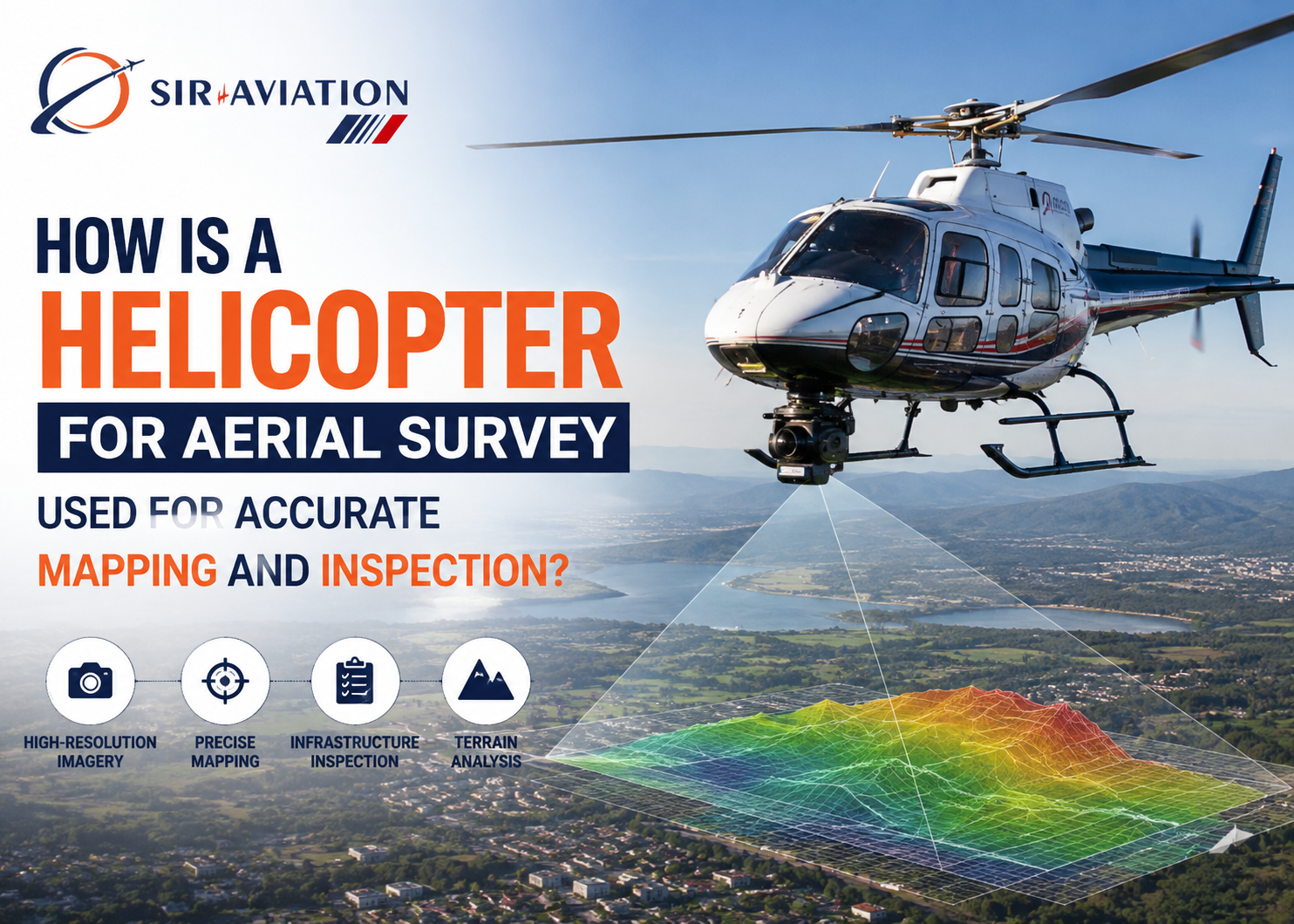
Accurate geographic data plays an important role in infrastructure development, industrial planning, environmental assessment, utility management, and large-scale engineering projects. A Helicopter for Aerial Survey provides a flexible platform for collecting high-resolution imagery, terrain information, inspection data, and geospatial measurements across locations that may be difficult to access from the ground. With suitable cameras, LiDAR systems, thermal sensors, and positioning equipment, helicopters can support detailed mapping and inspection missions across urban, rural, mountainous, coastal, and industrial areas.
Unlike ground-based surveying, helicopter-supported operations can cover extensive areas without requiring survey teams to physically reach every location. This capability makes aerial surveying particularly valuable for corridors, remote terrain, infrastructure networks, construction zones, and projects where both speed and detailed observation matter.
What Is Helicopter-Based Aerial Surveying?
Helicopter-based aerial surveying involves using a helicopter as an airborne platform for specialized sensors and imaging equipment. The aircraft follows a predetermined flight path while onboard systems capture geographic, photographic, thermal, topographic, or structural information.
Depending on project requirements, helicopters may carry high-resolution digital cameras, LiDAR scanners, infrared cameras, multispectral sensors, GPS/GNSS equipment, stabilized camera systems, or other specialized instruments.
The collected information is subsequently processed using mapping and geospatial software. Survey teams can convert raw flight data into orthophotos, terrain models, point clouds, contour maps, inspection imagery, 3D representations, and other project-specific outputs.
Helicopters offer a significant operational advantage because they can fly relatively slowly, operate at controlled altitudes, follow irregular terrain, and maneuver around specific survey targets.
Why Are Helicopters Used for Accurate Mapping?
Mapping accuracy depends on much more than taking photographs from the air. Survey missions require carefully planned flight paths, suitable sensors, stable positioning, sufficient image overlap, accurate coordinates, and controlled data collection.
Helicopters can support these requirements because their flight characteristics allow survey teams to maintain suitable speeds and altitudes over the target area.
For linear projects such as highways, pipelines, railways, transmission lines, and canals, helicopters can follow the infrastructure corridor closely. For land surveys, the aircraft can fly systematic parallel lines to capture overlapping imagery across the entire project boundary.
Their maneuverability is particularly useful when the terrain changes rapidly. Mountain slopes, valleys, forests, industrial sites, and densely developed areas may require adjustments in altitude or flight direction that can be challenging for some other aircraft.
How Does a Helicopter Aerial Survey Work?
A successful aerial survey generally begins well before the helicopter takes off. Surveyors, aviation professionals, technical specialists, and project managers determine the required area, resolution, sensor configuration, flight parameters, and expected deliverables.
1. Survey Area Assessment
The project team first identifies the geographic boundaries of the survey. Existing maps, coordinates, terrain characteristics, obstacles, airspace conditions, and project objectives are reviewed.
The required level of detail also affects flight planning. A project requiring close structural inspection may need a different operating profile from a large-scale topographic mapping mission.
2. Flight Planning
Flight paths are planned to provide sufficient coverage and consistent data collection. Parallel flight lines are commonly used for mapping, while corridor surveys generally follow the route of the infrastructure.
Altitude, speed, sensor angle, image overlap, terrain clearance, visibility, and operational restrictions are considered while preparing the mission.
3. Sensor Installation
The required survey equipment is installed or configured according to the project.
Some systems may be mounted externally, while others operate through specially configured aircraft openings or stabilized mounts. Equipment installation must account for aircraft safety, vibration, field of view, sensor calibration, and mission requirements.
4. Data Collection
During flight, the helicopter follows the planned route while sensors continuously or periodically collect information.
GPS/GNSS and inertial measurement systems can record the aircraft’s position and orientation. This information helps associate captured images or sensor measurements with geographic coordinates.
5. Data Processing
Raw aerial information is transferred to specialized processing systems after collection. Images may be corrected, aligned, georeferenced, and combined.
LiDAR information can be converted into point clouds and terrain models, while photographic data can support orthomosaic creation and 3D reconstruction.
6. Quality Verification
Survey specialists examine the processed information for coverage gaps, positioning errors, image quality, sensor inconsistencies, or other issues.
Quality control is essential because aerial data may support engineering, planning, inspection, measurement, or decision-making activities.
Role of LiDAR in Helicopter Aerial Surveys
LiDAR, or Light Detection and Ranging, is one of the important technologies used for airborne terrain mapping. A LiDAR sensor sends laser pulses toward the ground and measures the time required for the reflected signals to return.
Millions of measurements can be collected during a survey flight, producing a dense three-dimensional representation known as a point cloud.
Helicopter-mounted LiDAR can be particularly useful for mapping complex terrain. It can support elevation analysis, surface modelling, vegetation assessment, corridor mapping, engineering surveys, and infrastructure planning.
Another valuable characteristic of LiDAR is its ability to collect multiple returns from vegetation-covered areas. Some laser pulses may interact with tree canopies while others reach lower vegetation or the ground. Data processing can help separate these returns and create models of both vegetation and terrain.
High-Resolution Aerial Photography for Mapping
Digital aerial cameras remain an important component of helicopter surveys. High-resolution images provide detailed visual records of land, structures, infrastructure, and environmental conditions.
Survey flights generally capture photographs with significant overlap. Processing software identifies common points across multiple images and combines them into geographically accurate products.
One common output is an orthomosaic. Unlike a standard aerial photograph, an orthomosaic is corrected for perspective and terrain-related distortion, allowing it to function more like a map.
High-resolution aerial imagery can support land-use assessment, construction planning, property development, route planning, environmental monitoring, and infrastructure documentation.
Using Helicopters for Infrastructure Inspection
Mapping is only one application of aerial survey operations. Helicopters are also widely suited to inspecting infrastructure spread across large geographic areas.
Power Transmission Lines
Transmission networks can extend across hundreds or thousands of kilometres and often cross agricultural land, forests, rivers, hills, and remote areas.
Helicopter inspection can help capture information relating to towers, conductors, insulators, vegetation encroachment, corridor conditions, and surrounding terrain.
Specialized imaging equipment can provide detailed visual information without requiring inspection personnel to physically access every tower or line segment.
Oil and Gas Pipelines
Pipeline corridors require periodic monitoring for environmental changes, unauthorized activity, vegetation conditions, construction activity, erosion, or visible abnormalities.
Helicopters can follow long pipeline routes efficiently while collecting imagery and geospatial information.
Roads and Highways
Aerial surveys can support road planning, expansion, maintenance assessment, traffic infrastructure documentation, and construction monitoring.
Survey data can help engineers evaluate terrain, drainage patterns, slopes, surrounding development, intersections, and corridor constraints.
Railway Corridors
Rail networks present similar challenges because they cover long distances and pass through varied terrain.
Helicopter surveys can document tracks, bridges, embankments, vegetation, surrounding land, drainage systems, and other corridor features.
Bridges and Large Structures
Helicopters equipped with stabilized high-resolution cameras can collect images of difficult-to-reach portions of bridges, towers, industrial structures, and similar assets.
The imagery can supplement engineering inspections by providing visual records from multiple viewpoints.
Helicopter Surveys for Construction and Engineering Projects
Large infrastructure projects require reliable information from planning through execution. Aerial survey operations can support several phases of development.
Before construction, aerial mapping can provide terrain and site information for feasibility assessment and engineering design. During construction, repeated flights can document physical progress and changes across the site.
Survey information can also assist with earthwork analysis, route development, drainage planning, site access evaluation, and coordination between project teams.
For large projects spread over substantial areas, aerial data creates a broader visual perspective than individual ground photographs.
Advantages in Remote and Difficult Terrain
One of the strongest reasons to use helicopters for surveying is their ability to operate over areas where ground access is difficult.
Mountain ranges, forests, river valleys, wetlands, mining regions, coastal zones, deserts, and isolated infrastructure sites may require considerable time and resources for ground teams to reach.
A helicopter can move directly between survey locations while carrying specialized equipment. Its ability to operate at relatively low speeds also makes it suitable for detailed observation.
In mountainous areas, helicopters can adapt more readily to changing terrain profiles. This flexibility can support consistent sensor-to-ground distances when mission planning and operating conditions permit.
Thermal Imaging for Inspection Missions
Thermal cameras detect differences in emitted infrared energy rather than relying solely on visible light. When integrated into suitable aerial survey operations, thermal imaging can reveal temperature patterns that may not be apparent in conventional photographs.
Potential applications include power infrastructure inspection, industrial facility assessment, solar installation surveys, building inspection, and certain environmental monitoring activities.
Thermal imagery must be interpreted carefully because weather, sunlight, surface materials, operating conditions, and sensor configuration can affect temperature readings.
Combining thermal data with conventional imagery and location information can provide inspection teams with a stronger dataset for further technical evaluation.
Aerial Survey Applications in Mining
Mining operations frequently cover large areas with changing terrain and substantial material movement. Helicopter-based surveying can support topographic mapping, site documentation, haul-road planning, environmental assessment, and regional geological work.
LiDAR and photogrammetric information can create detailed surface models that assist technical teams in assessing terrain conditions.
Repeated surveys can also document changes across large operational areas. The frequency and method of surveying depend on the project’s accuracy requirements, regulatory conditions, terrain, and operational objectives.
Environmental and Forestry Surveys
Helicopter surveying can support environmental projects where information must be collected across large or inaccessible areas.
Forestry applications may include canopy assessment, vegetation mapping, forest boundary surveys, terrain modelling, and monitoring of selected environmental conditions.
LiDAR can be particularly useful because multiple laser returns can provide information about vegetation structure and ground elevation.
Aerial imagery can also support assessments involving rivers, coastlines, wetlands, erosion, land-use changes, and habitat areas.
Helicopters Versus Drones for Aerial Surveying
Both helicopters and drones have valuable roles in aerial surveying, but they are suited to different operational requirements.
Drones are often effective for smaller sites, localized construction projects, property surveys, and missions where relatively limited coverage is required.
Helicopters become particularly valuable when surveys involve long distances, extensive corridors, large geographic regions, substantial payloads, multiple sensor systems, or operational conditions that require greater endurance and mobility.
A helicopter may carry sophisticated LiDAR systems, professional aerial cameras, thermal equipment, and supporting navigation hardware simultaneously.
The appropriate platform should therefore be selected according to survey area, required resolution, sensor payload, terrain, flight permissions, operating environment, project schedule, and required outputs.
Factors That Influence Aerial Survey Accuracy
Using advanced equipment does not automatically guarantee accurate results. Several operational and technical factors affect the quality of aerial survey data.
Flight altitude influences ground resolution and sensor coverage. Aircraft speed can affect image sharpness and measurement density. Image overlap is important for photogrammetric processing, while GPS/GNSS quality influences positional accuracy.
Sensor calibration, weather conditions, atmospheric visibility, vibration, sun angle, terrain variation, and processing methodology can also influence final results.
Professional flight planning therefore requires coordination between aviation crews and survey specialists.
Importance of Flight Safety and Regulatory Compliance
Aerial survey missions must operate within applicable aviation rules, airspace restrictions, aircraft limitations, and safety requirements.
Flight planning may need to consider controlled airspace, restricted areas, airports, populated locations, obstacles, weather, terrain clearance, equipment installation, and other operational factors.
Survey equipment must also be integrated appropriately with the aircraft. Payload weight, mounting configuration, electrical requirements, equipment positioning, and aircraft performance can influence mission planning.
SIR Aviation can support organizations seeking helicopter aviation solutions for specialized operational requirements, with planning focused on appropriate aircraft deployment and mission coordination.
How Businesses Can Select the Right Survey Approach
Before arranging a helicopter survey, organizations should clearly define what information they need from the mission.
A topographic mapping project may require LiDAR and positioning systems, while a transmission-line inspection could require high-resolution cameras, thermal equipment, or other specialist sensors. A construction monitoring assignment may primarily depend on repeatable imagery captured from consistent locations and flight paths.
The survey area, terrain, required accuracy, output format, operating environment, sensor payload, and project timeline should all influence platform selection.
Early coordination between the project team, survey specialists, sensor operators, and aviation provider can reduce operational complications and improve data collection efficiency.
Why Helicopter-Based Surveys Remain Valuable
Modern surveying increasingly depends on detailed geospatial information. While satellites, drones, ground systems, and fixed-wing aircraft each serve important purposes, helicopters occupy a useful position where maneuverability, payload capability, coverage, and detailed observation are required together.
Their ability to follow linear infrastructure, operate over difficult terrain, carry advanced sensor packages, and access widely separated locations makes them suitable for demanding mapping and inspection assignments.
For organizations evaluating aerial data collection options, SIR Aviation can assist with helicopter-based aviation requirements based on mission scope, operational conditions, aircraft suitability, and project needs.
Conclusion
Helicopter aerial surveying combines aviation capability with advanced imaging, LiDAR, positioning, and inspection technologies. It can support accurate mapping, infrastructure monitoring, engineering projects, environmental assessment, mining operations, and remote-area surveys. Successful results depend on careful flight planning, suitable sensors, accurate positioning, professional data processing, and safe aircraft operations. By matching the helicopter and survey configuration to specific project requirements, organizations can collect valuable geographic and inspection information across extensive or difficult-to-access areas.
FAQs
How accurate is helicopter aerial surveying?
Accuracy depends on sensor quality, flight altitude, positioning systems, calibration, ground control, weather conditions, flight planning, and data-processing methods. Professional LiDAR and photogrammetric systems can provide highly detailed geospatial information when operated under suitable conditions.
Is a helicopter better than a drone for aerial surveys?
Neither platform is universally better. Drones are often suitable for smaller sites, while helicopters can be advantageous for long corridors, large areas, heavier sensor payloads, remote terrain, and missions requiring greater range or endurance.
What equipment can be installed on a helicopter for aerial mapping?
Depending on aircraft compatibility and mission requirements, equipment may include high-resolution aerial cameras, LiDAR scanners, thermal cameras, multispectral sensors, GPS/GNSS systems, inertial measurement units, and stabilized imaging systems.